 | Vsevidof from the south, August 1985 (photo by C. Nye, Alaska DGGS) <click to enlarge> |
Mount Vsevidof
7050 ft (2149 m) . |
||
| Location: | Umnak Island in the Aleutian Islands, Alaska | ||
| Lat / Long: | 53.1° N, 168.7° W | ||
| Volcanic Type: | Stratovolcano | ||
| Volcanic Status: | Active, last eruption 1878 (possible eruption in 1957) | ||
| First Ascent: | |||
| First Ski Descent: | |||
| Skiable Vertical: | about 7000 ft (2100 m) | ||
| Administration: | Alaska Maritime National Wildlife Refuge | ||
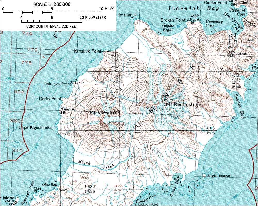
| Vsevidof is the third highest peak in the Aleutian Islands, a youthful and relatively uneroded cone in the central part of Umnak Island. The cone is capped by a 3/4 mile (1.2 km) wide caldera which is filled with ice, and glaciers which have breached the northern and eastern parts of the rim flow out from it. Other small glaciers are found on the west and southeast slopes, and the cone of Vsevidof partially overlaps its older neighbor just to the east, Recheshnoi. Umnak is a large island, over 70 miles (100 km) in length, which lies in the eastern part of the Aleutian chain. There is a native village at Nikolski near the southwest end, about 15 miles (25 km) from Vsevidof, and the landing strip here provides the best access to the island and its volcanoes. Floatplane or boat landings could also be attempted in the bays closer to the volcanoes in fair weather. All transportation options start from the nearest city which is Dutch Harbor on Unalaska Island, about 100 miles (160 km) to the northeast. | |||
 |
Some useful links: Global Volcanism Program: Vsevidof Alaska Volcano Observatory Alaska Maritime National Wildlife Refuge |
||
| Topographic map of Vsevidof and Recheshnoi (1:250,000 scale) from USGS Umnak <click to enlarge> |
|||
More photos and info about routes, access, etc. may be added in the future ... |
|||